
Real-time infrastructure intelligence for safer, cleaner, and more efficient streets — day & night.
Leverage crowdsourced mobile Street-View and AI analytics to detect issues early, prioritize maintenance, and integrate up-to-date visuals and asset data directly into your GIS and work-order systems.
24/7
Day & night visibility
≤ 7d
Typical refresh cycles
90%+
Auto-detected asset accuracy*
API
Plug into GIS/CMMS
*Depends on asset type and local conditions; validation samples provided.
Public Lighting Management
Detect malfunctioning or flickering streetlights, measure brightness, and generate dark-zone maps to improve safety and energy efficiency.
Road & Infrastructure Maintenance
Identify potholes, faded markings, and damaged signs for targeted repair — with change-detection timelines to prove impact.
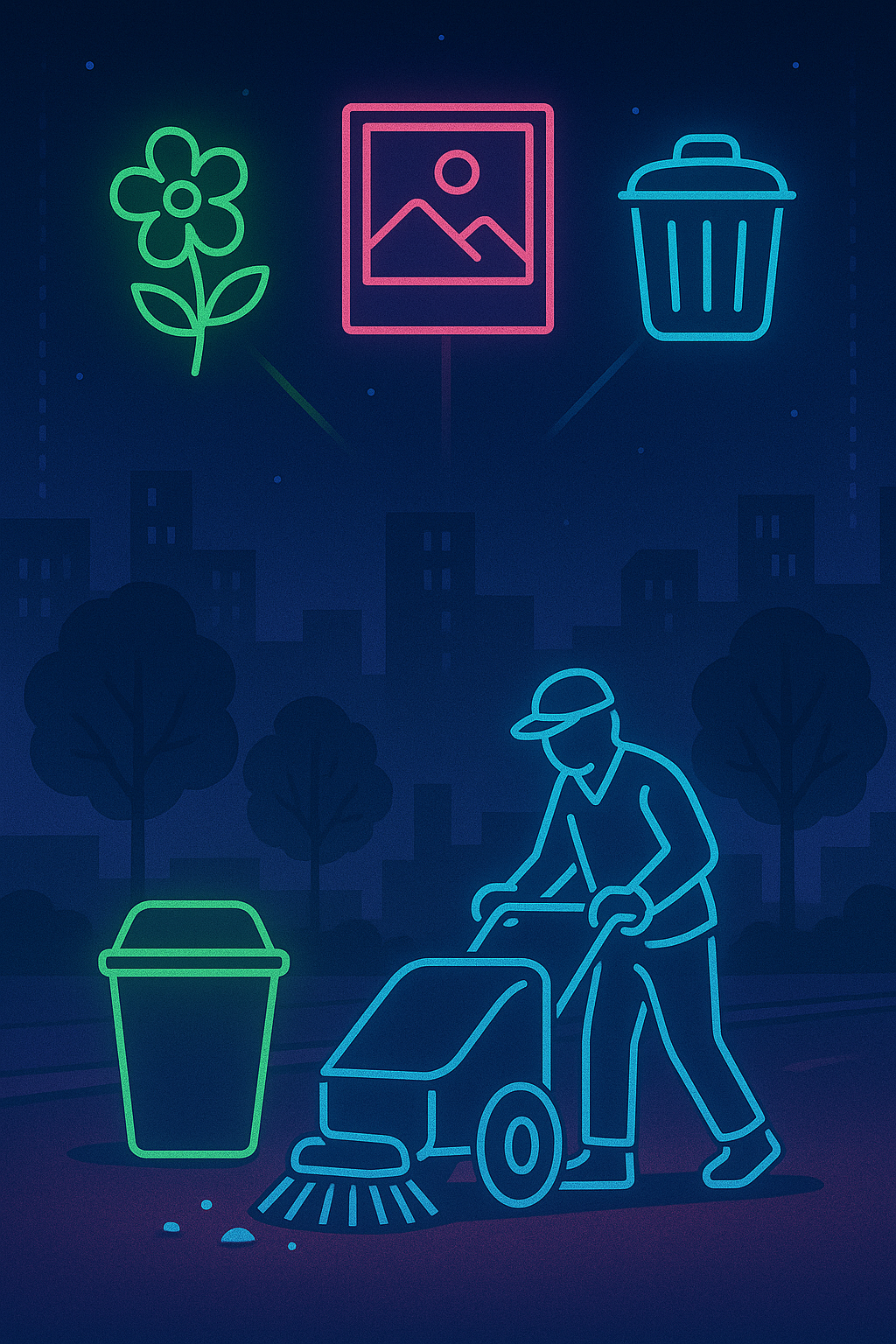
Urban Cleanliness & Aesthetics
Surface graffiti, illegal dumping, or cluttered zones to support cleanliness audits and rapid response.
Public Lighting Management
Detect malfunctioning or flickering streetlights, measure brightness, and generate dark-zone maps to improve safety and energy efficiency.
- Streetlight ON/OFF state at night
- Lumens / visibility scoring
- Priority lists for maintenance routes

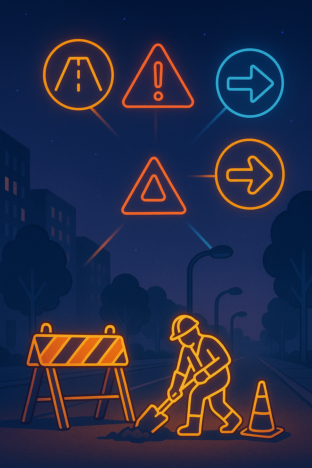
Road & Infrastructure Maintenance
Identify potholes, faded markings, and damaged signs for targeted repair — with change-detection timelines to prove impact.
- Pothole/crack detection and severity tags
- Faded paint & sign obstruction alerts
- Before/after evidence for contractors
Urban Cleanliness & Aesthetics
Surface graffiti, illegal dumping, or cluttered zones to support cleanliness audits and rapid response.
- Heatmaps of recurring hotspots
- Photo evidence bundles
- Integrations for 311 / citizen reports
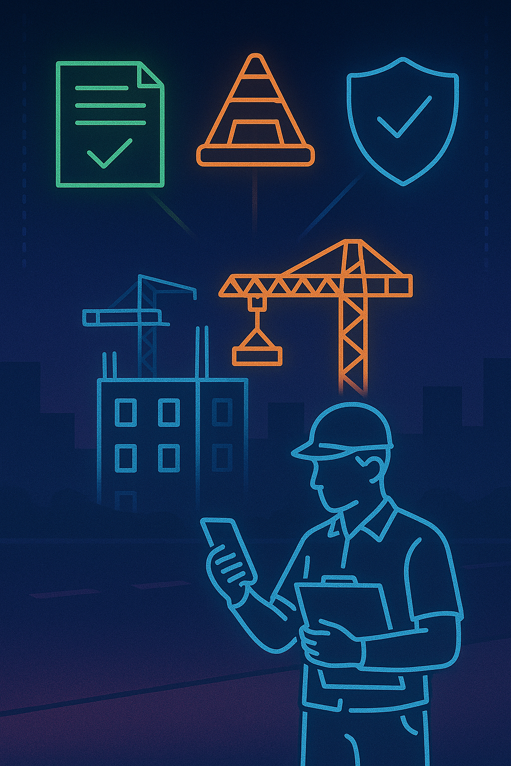
Construction & Permit Oversight
Monitor ongoing public or private works to ensure compliance, minimize disruption, and validate milestones.
- Scaffolding & lane closure detection
- Access and signage compliance
- Automated photo logs per project area
What municipalities receive
AI-tagged asset maps
Up-to-date inventories for streetlights, signage, and road furniture.
Condition indices & trends
Quantified road wear, visibility, and cleanliness indicators.
APIs for GIS/CMMS
GeoJSON/CSV/REST endpoints for Esri, QGIS, and work-order tools.
Evidence-ready reporting
Photo bundles and change timelines to close work orders with proof.
Turn your city into a living, AI-updated map.
Schedule a demo and see your corridors, assets, and hotspots with day & night analytics.